The character of the walk
Walking the Cotswold Way
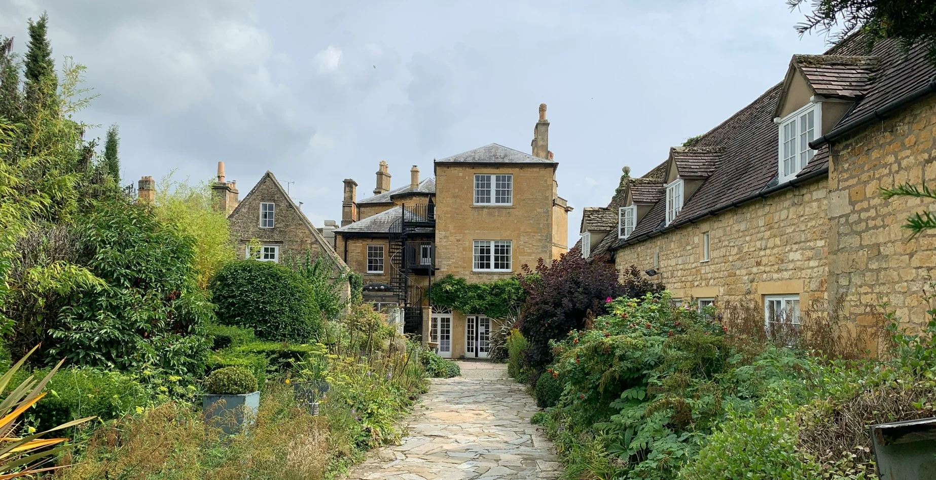
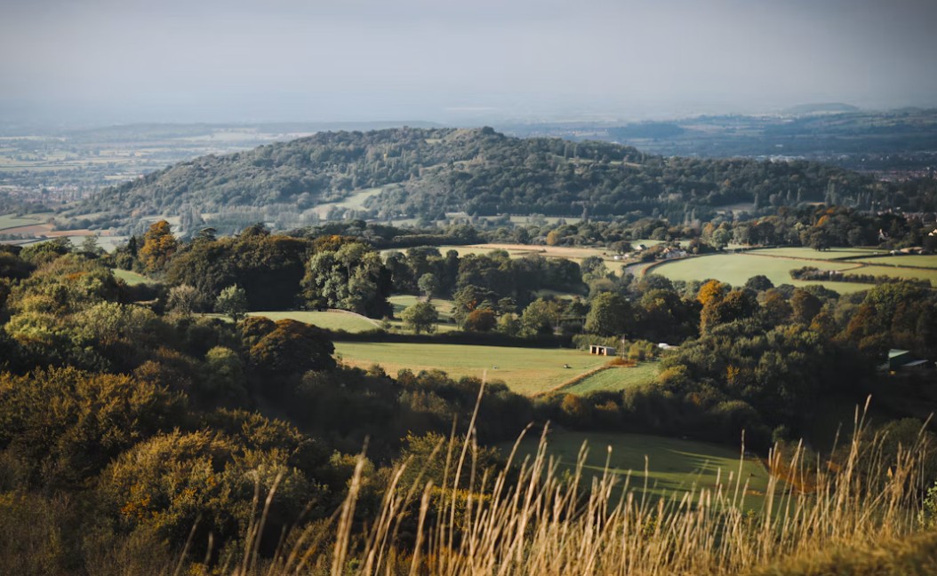
The Cotswold Way follows much of the western edge of the Cotswold escarpment. It is a varied countryside walk rather than a remote mountain trek: open hillsides look west across the Severn Vale, while other stretches cross pasture, follow beech woods and pass through villages built from the area’s warm-coloured stone.
The path repeatedly climbs onto and drops from the escarpment. Those ascents add up over several days, so daily mileage can feel more demanding than a map suggests. Cleeve Hill is the highest point, and its open high ground is one of the route’s most memorable stretches.
There is a strong historical thread too, from Broadway Tower and Hailes Abbey to Belas Knap, the hillfort landscape around Crickley Hill, and monuments and churches along the escarpment. Bath provides a very different finish, with its Roman and Georgian heritage.
For the official route overview and current trail information, see the Cotswold Way National Trail.
Planning your days
How long does it take?
Most walkers allow around seven to ten days for the full route. A week makes for a purposeful walk; ten days gives more breathing room for shorter days, stops along the way and changes of plan. You can also walk individual sections as day walks or spread the full route over a longer period.
Rather than dividing the total mileage into equal days, plan around the climbs, places you want to visit and overnight stops. If you are new to multi-day walking, conservative daily distances can help: repeated ascents and descents may make several moderate days more tiring than expected, especially with a full pack.
Plan your overnight stops
Where to stay along the route
Accommodation planning deserves as much attention as the walking itinerary. The choice varies considerably: larger centres have more options, while smaller settlements may have only one or two places to stay—or none directly in the village.
Chipping Campden and Broadway
Chipping Campden is a natural place to stay before setting off. Broadway offers another useful stop early in the walk, with more choice than the smaller settlements nearby.
Stanton and Wood Stanway
These are smaller places with more limited accommodation. Check nearby options and the walking connection before fixing your stage distances.
Winchcombe
One of the more useful accommodation centres in the northern half of the route, with places to eat and shops for supplies.
Cleeve Hill, Cheltenham and Birdlip
Cheltenham has more accommodation choice, but is off the trail. Cleeve Hill and Birdlip have fewer options close to the route, so plan any transfer or diversion.
Painswick, Stroud and the surrounding villages
Painswick is a natural stop for many walkers. King’s Stanley, Middleyard and other places around the Stroud Valley may involve a diversion from the trail.
Dursley, Wotton-under-Edge and the southern villages
Dursley and Wotton-under-Edge offer useful overnight possibilities. Beyond them, accommodation around Hawkesbury Upton, Tormarton and Cold Ashton is more scattered.
Bath
The route finishes in a city with a wide choice of places to stay. An extra night can leave time to explore after the walk.
A few accommodation planning tips
- Book the smaller places first. Secure nights where there are few realistic options before building the rest of the itinerary around them.
- Check single-night stays and meals. Minimum stays, breakfast times and evening meal availability can affect whether a stop works for your plans.
- Check the last mile. A property that looks close on a map may involve a steep walk, a road section or a transfer. Confirm the route from the trail to the door.
- Plan luggage and camping arrangements. Confirm that a luggage service covers each address. Campsites can be seasonal, so check their dates and arrangements directly.
For places to stay organized by location, see the detailed Cotswold Way accommodation guide.
North to south
The route, section by section
Most walkers travel from Chipping Campden to Bath. The scenery shifts along the way, from northern market towns and high escarpment views to wooded valleys, the Stroud area and quieter farmland further south.
Chipping Campden to Winchcombe
The walk leaves Chipping Campden by climbing towards Dover’s Hill, where the views open across the northern Cotswolds. Broadway Tower is a landmark on this early stretch, followed by Broadway and the quieter villages around Stanton and Wood Stanway. The route continues past Hailes Abbey before reaching Winchcombe.
Cleeve Hill, Cheltenham and Painswick
South of Winchcombe, the path climbs towards Belas Knap and the open high ground around Cleeve Hill, the route’s highest point. The walk then crosses a varied mix of countryside on its way towards Birdlip and Painswick, including woodland and the steep climb at Cooper’s Hill. Painswick’s stone streets and churchyard mark a change of pace before the trail continues into the Stroud Valley.
Dursley, Wotton-under-Edge and Bath
The route moves through the hills and farmland around Dursley, passing the hillfort landscape at Uley Bury and climbing towards Stinchcombe Hill. Near North Nibley, the Tyndale Monument is a notable landmark before the path descends to Wotton-under-Edge. South of here, smaller settlements and open countryside lead towards the final approach to Bath and the finish beside Bath Abbey.
Places to pause
Highlights along the Cotswold Way
Some are directly on the trail; others make a worthwhile stop or short detour.
Chipping Campden
A historic market town and a natural starting point for the walk.
Dover’s Hill and Broadway Tower
Early escarpment views and two landmarks on the northern section.
Stanton and Hailes Abbey
A Cotswold stone village and the remains of a medieval abbey near Winchcombe.
Belas Knap and Cleeve Hill
A Neolithic long barrow and the highest point on the route.
Painswick and the Stroud Valley
A distinctive village followed by a landscape of wooded hills and valleys.
Bath
A memorable finish beside Bath Abbey, surrounded by the city’s Roman and Georgian heritage.
Choose your season
When is the best time to walk?
The Cotswold Way can be walked throughout the year, but spring to autumn is generally the most straightforward period for a multi-day trip. Longer daylight makes it easier to enjoy the route without rushing, and businesses are more likely to be operating on their usual schedules.
Spring brings fresh growth and wildflowers; summer has long days but can be busier around popular villages and holiday periods. September and October can bring quieter paths and autumn colour. Winter walking is possible, but expect shorter days, muddy paths after wet weather and some seasonal accommodation closures.
Whatever the season, check the forecast and local path information before setting out. Carry suitable waterproofs and footwear, and remember that exposed sections of the escarpment can feel different in wind or poor visibility.
Before you set out
Practical planning
Getting to the start and away from the finish
Chipping Campden and Bath are at opposite ends of a linear walk, so think about transport before booking everything else. Check how you will reach Chipping Campden and get home from Bath. Public transport may involve changes or less frequent services at weekends and on public holidays; check current timetables rather than relying on an old one.
If you drive, decide where the car will be left for the duration of the walk. Returning to the same car park is not straightforward when start and finish are in different places. Check parking rules and overnight restrictions directly.
Food, packing and navigation
Shops, cafés and pubs will not necessarily be open when you reach them. Opening days and kitchen hours vary, particularly in smaller settlements and outside the main holiday season. Carry enough water and snacks for quieter stretches, and ask accommodation about breakfast times and packed lunches.
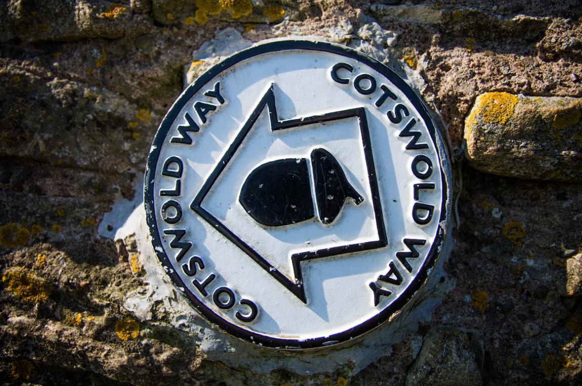
Comfortable, broken-in footwear is important. The route includes uneven paths, muddy sections and repeated climbs. Carry food, water, an extra layer, waterproofs, a basic first-aid kit and navigation. The trail is waymarked, but signs can be missed and temporary closures or diversions can occur. Download maps for offline use if you rely on a phone, and check official trail information before setting out.
If you use luggage transfer, confirm that the service covers every overnight address and that each accommodation provider is happy to receive bags. Keep valuables, medication, waterproofs, food and navigation equipment in your day pack.
For an interactive way to organize route options, the separate Cotswold Way Guide & Planner is also available.
Common questions
Cotswold Way FAQs
How long is the Cotswold Way?
The Cotswold Way is 102 miles (164 km), running from Chipping Campden in Gloucestershire to Bath in Somerset.
How many days do you need to walk the Cotswold Way?
Most walkers allow around seven to ten days. You can walk it more quickly with longer days or take longer to spend more time in villages and places of interest.
Is the Cotswold Way difficult?
It is achievable for walkers with a reasonable level of fitness, but it is not flat. Repeated climbs onto and descents from the escarpment can make consecutive days tiring.
Where does the Cotswold Way start and finish?
The route starts in Chipping Campden and finishes beside Bath Abbey in Bath.
Do you need to book accommodation in advance?
Booking ahead is sensible, especially in smaller places where there may be few options. Check one-night policies and meal arrangements when making plans.
Can you camp along the Cotswold Way?
Campsites are available in some areas but are not evenly distributed along the route and may be seasonal. Check each site’s location, opening dates, facilities and booking requirements.
Which direction should you walk the Cotswold Way?
Most walkers go north to south, from Chipping Campden to Bath, but the route can be walked in either direction.
Keep planning